
Bonaire, Sint Eustatius, and Saba
Population
Land Area & Density
GDP
Minimum Wage
Capital City
Continent
Historical Bonaire, Sint Eustatius, and Saba GDP
About Bonaire, Sint Eustatius, and Saba
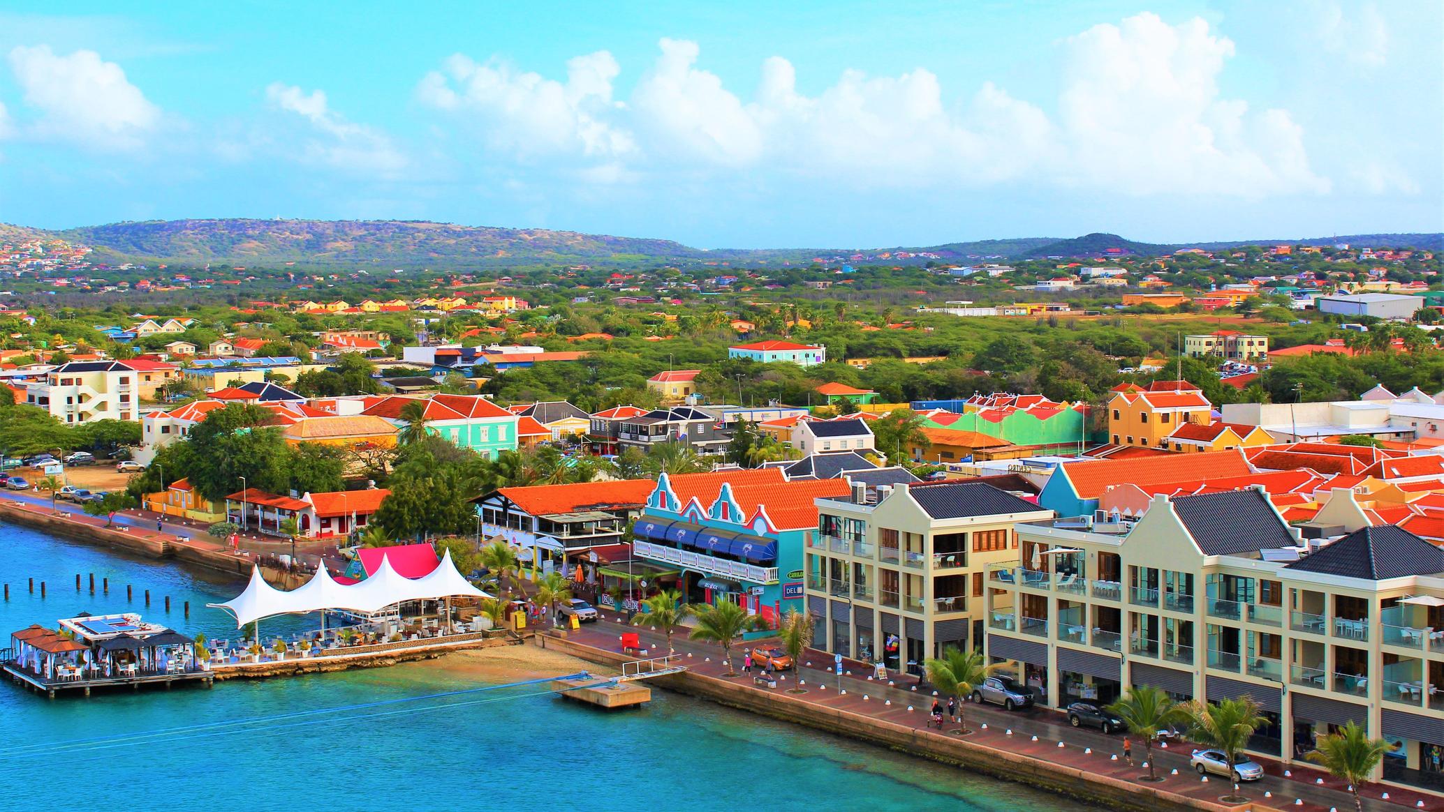
Bonaire, Sint Eustatius, and Saba, collectively known as the BES islands, are special municipalities of the Netherlands located in the Caribbean. Bonaire, the largest of the three, is renowned for its stunning coral reefs, making it a paradise for divers and snorkelers. Sint Eustatius, often referred to as Statia, is rich in history, with well-preserved colonial architecture and a significant role in the 18th-century trade. Saba, the smallest of the trio, is famous for its lush, mountainous terrain and the iconic Mount Scenery, the highest point in the Netherlands. These islands boast a unique blend of Dutch and Caribbean cultures, offering visitors a mix of natural beauty, historical sites, and vibrant local traditions. Despite their small size, Bonaire, Sint Eustatius, and Saba are cherished for their pristine environments and warm, welcoming communities.
Key Facts
- Official Language
- Time Zone
- UTC+0
- Calling Code
- +1